
Thank you for supporting this site ❤️
Make a donation
Make a donation
Rayburn topographic map
Click on the map to display elevation.
Thank you for supporting this site ❤️
Make a donation
Make a donation
About this map
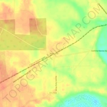
Name: Rayburn topographic map, elevation, terrain.
Location: Rayburn, Liberty County, Texas, United States (30.39354 -94.94438 30.43354 -94.90438)
Average elevation: 40 m
Minimum elevation: 12 m
Maximum elevation: 53 m
Thank you for supporting this site ❤️
Make a donation
Make a donation
Other topographic maps
Click on a map to view its topography, its elevation and its terrain.