
雁门口 topographic map
Interactive map
Click on the map to display elevation.
About this map
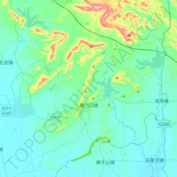
Name: 雁门口 topographic map, elevation, terrain.
Location: 雁门口, 京山市, 荆门市, 湖北省, 中国 (30.73525 112.87176 30.98144 113.07142)
Average elevation: 82 m
Minimum elevation: 26 m
Maximum elevation: 400 m
Other topographic maps
Click on a map to view its topography, its elevation and its terrain.