
青泥洞乡 topographic map
Interactive map
Click on the map to display elevation.
About this map
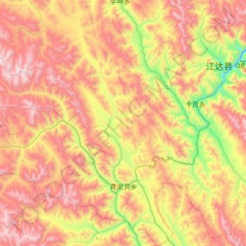
Name: 青泥洞乡 topographic map, elevation, terrain.
Location: 青泥洞乡, 江达县, 昌都市, 西藏自治区, 中国 (31.19247 97.69058 31.61092 98.09100)
Average elevation: 4,324 m
Minimum elevation: 3,555 m
Maximum elevation: 5,143 m
Other topographic maps
Click on a map to view its topography, its elevation and its terrain.