
Pähksaar topographic map
Interactive map
Click on the map to display elevation.
About this map
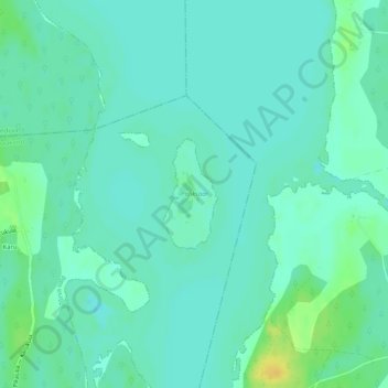
Name: Pähksaar topographic map, elevation, terrain.
Location: Pähksaar, Karu küla, Tõrva vald, Valga maakond, Estonia (58.11455 26.06844 58.12224 26.07578)
Average elevation: 36 m
Minimum elevation: 29 m
Maximum elevation: 53 m