
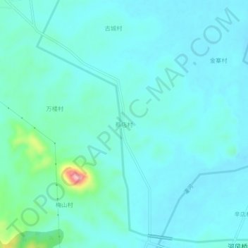
蔡店村 topographic map
Interactive map
Click on the map to display elevation.
About this map
Name: 蔡店村 topographic map, elevation, terrain.
Location: 蔡店村, 商城县, 信阳市, 河南省, 中国 (31.90127 115.36571 31.94127 115.40571)
Average elevation: 80 m
Minimum elevation: 58 m
Maximum elevation: 214 m
Other topographic maps
Click on a map to view its topography, its elevation and its terrain.