
青莲 topographic map
Interactive map
Click on the map to display elevation.
About this map
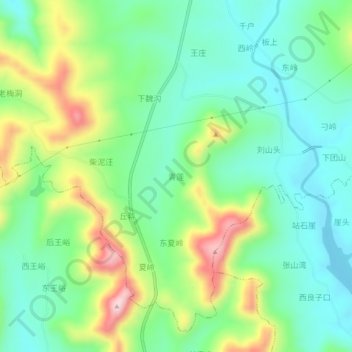
Name: 青莲 topographic map, elevation, terrain.
Location: 青莲, 枣庄市, 山东省, 中国 (35.12658 117.45526 35.16658 117.49526)
Average elevation: 298 m
Minimum elevation: 201 m
Maximum elevation: 500 m
Other topographic maps
Click on a map to view its topography, its elevation and its terrain.