
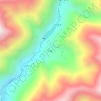
夹铺子 topographic map
Interactive map
Click on the map to display elevation.
About this map
Name: 夹铺子 topographic map, elevation, terrain.
Location: 夹铺子, 雪洼龙镇, 九龙县, 甘孜藏族自治州, 四川省, 626200, 中国 (28.78516 101.80320 28.82516 101.84320)
Average elevation: 3,200 m
Minimum elevation: 2,537 m
Maximum elevation: 4,003 m