
Rabotrath topographic map
Interactive map
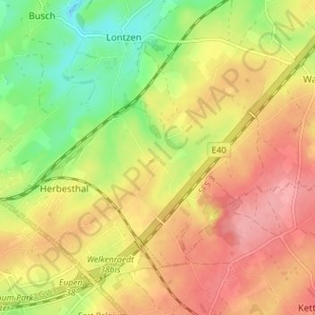
Click on the map to display elevation.
About this map
Name: Rabotrath topographic map, elevation, terrain.
Location: Rabotrath, Lontzen, Verviers, Liège, Wallonie, 4710, Belgique (50.64506 5.99408 50.68506 6.03408)
Average elevation: 268 m
Minimum elevation: 215 m
Maximum elevation: 311 m