
Thank you for supporting this site ❤️
Make a donation
Make a donation
Lawley topographic map
Click on the map to display elevation.
Thank you for supporting this site ❤️
Make a donation
Make a donation
About this map
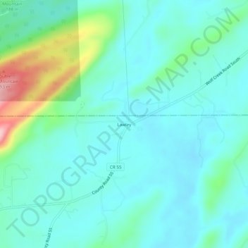
Name: Lawley topographic map, elevation, terrain.
Location: Lawley, Shelby County, Alabama, United States (33.48122 -86.46748 33.52122 -86.42748)
Average elevation: 168 m
Minimum elevation: 129 m
Maximum elevation: 323 m
Thank you for supporting this site ❤️
Make a donation
Make a donation