
Orsbach topographic map
Interactive map
Click on the map to display elevation.
About this map
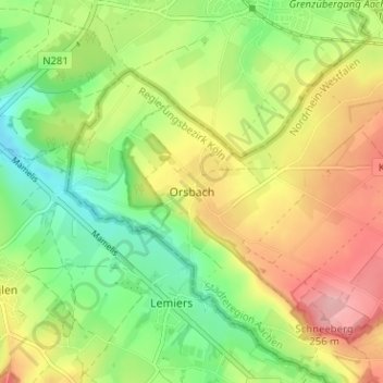
Name: Orsbach topographic map, elevation, terrain.
Average elevation: 184 m
Minimum elevation: 123 m
Maximum elevation: 259 m
Orsbach ist der westlichste Stadtteil von Aachen im Stadtbezirk Laurensberg. Er liegt auf einer Anhöhe in 200 Metern Höhe, direkt an der deutsch-niederländischen Grenze und hat rund 600 Einwohner.