
Charouine topographic map
Interactive map
Click on the map to display elevation.
About this map
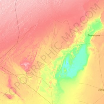
Name: Charouine topographic map, elevation, terrain.
Location: Charouine, Daïra de Charouine, Timimoune, 1014, Algérie (28.56011 -0.66062 29.61785 -0.08976)
Average elevation: 312 m
Minimum elevation: 170 m
Maximum elevation: 471 m