
野牛沟乡 topographic map
Interactive map
Click on the map to display elevation.
About this map
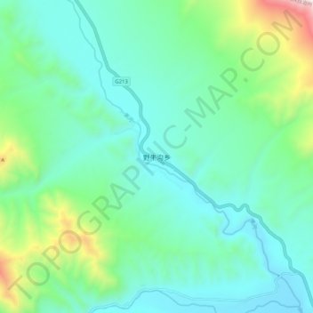
Name: 野牛沟乡 topographic map, elevation, terrain.
Location: 野牛沟乡, 祁连县, 海北藏族自治州, 青海省, 中国 (38.41650 99.50151 38.49650 99.58151)
Average elevation: 3,491 m
Minimum elevation: 3,216 m
Maximum elevation: 4,493 m