
大柳塔镇 topographic map
Interactive map
Click on the map to display elevation.
About this map
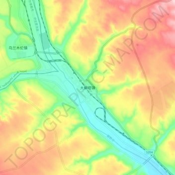
Name: 大柳塔镇 topographic map, elevation, terrain.
Location: 大柳塔镇, 陕西省, 中国 (39.23331 110.18816 39.31331 110.26816)
Average elevation: 1,170 m
Minimum elevation: 1,057 m
Maximum elevation: 1,298 m