
Kota Jaya topographic map
Interactive map
Click on the map to display elevation.
About this map
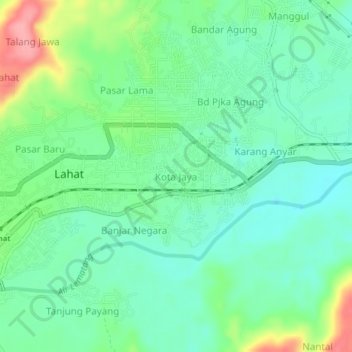
Name: Kota Jaya topographic map, elevation, terrain.
Location: Kota Jaya, Lahat, South Sumatra, 31451, Indonesia (-3.80350 103.53738 -3.76350 103.57738)
Average elevation: 107 m
Minimum elevation: 74 m
Maximum elevation: 183 m