
Thank you for supporting this site ❤️
Make a donation
Make a donation
Beco topographic map
Click on the map to display elevation.
Thank you for supporting this site ❤️
Make a donation
Make a donation
About this map
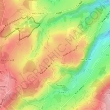
Name: Beco topographic map, elevation, terrain.
Location: Beco, La Reid, Theux, Verviers, Liège, Wallonie, 4910, Belgique (50.49361 5.77909 50.51361 5.79909)
Average elevation: 299 m
Minimum elevation: 209 m
Maximum elevation: 371 m
Thank you for supporting this site ❤️
Make a donation
Make a donation