
Bateha topographic map
Interactive map
Click on the map to display elevation.
About this map
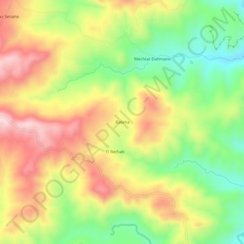
Name: Bateha topographic map, elevation, terrain.
Location: Bateha, Dehamcha, Daïra Aïn El Kebira, Sétif, Algérie (36.33789 5.60253 36.37789 5.64253)
Average elevation: 814 m
Minimum elevation: 629 m
Maximum elevation: 1,009 m