
Thank you for supporting this site ❤️
Make a donation
Make a donation
Bonneau topographic map
Click on the map to display elevation.
Thank you for supporting this site ❤️
Make a donation
Make a donation
About this map
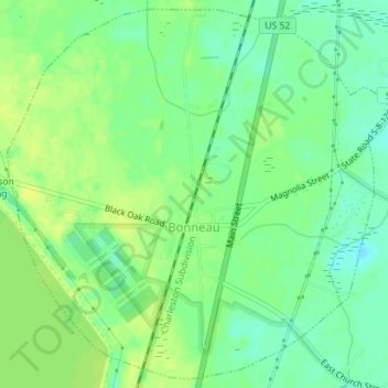
Name: Bonneau topographic map, elevation, terrain.
Location: Bonneau, Berkeley County, South Carolina, United States (33.29391 -79.97481 33.32204 -79.93957)
Average elevation: 18 m
Minimum elevation: 9 m
Maximum elevation: 25 m
Thank you for supporting this site ❤️
Make a donation
Make a donation
Other topographic maps
Click on a map to view its topography, its elevation and its terrain.
Naval Nuclear Power Training Command
United States > South Carolina > Berkeley County > Goose Creek
Average elevation: 5 m
Thank you for supporting this site ❤️
Make a donation
Make a donation
Thank you for supporting this site ❤️
Make a donation
Make a donation
Thank you for supporting this site ❤️
Make a donation
Make a donation
Thank you for supporting this site ❤️
Make a donation
Make a donation
Thank you for supporting this site ❤️
Make a donation
Make a donation