
Thank you for supporting this site ❤️
Make a donation
Make a donation
Seneffe topographic map
Click on the map to display elevation.
Thank you for supporting this site ❤️
Make a donation
Make a donation
About this map
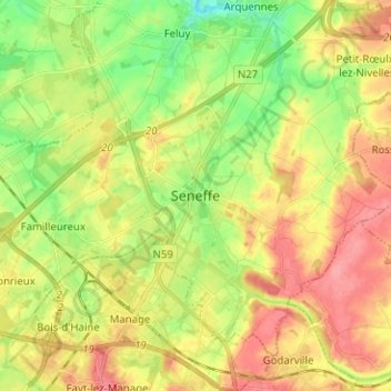
Name: Seneffe topographic map, elevation, terrain.
Location: Seneffe, Soignies, Hainaut, Wallonie, 7180, Belgique (50.48926 4.21670 50.56926 4.29670)
Average elevation: 127 m
Minimum elevation: 86 m
Maximum elevation: 168 m
Thank you for supporting this site ❤️
Make a donation
Make a donation
Other topographic maps
Click on a map to view its topography, its elevation and its terrain.
Thank you for supporting this site ❤️
Make a donation
Make a donation