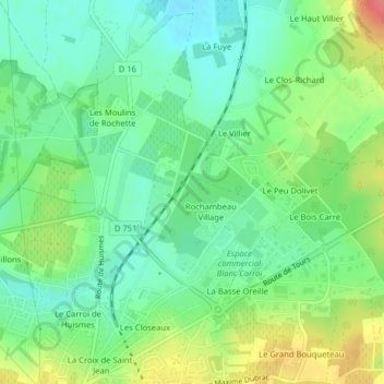
Le Bois de la Grille topographic map
Interactive map
Click on the map to display elevation.
About this map
Name: Le Bois de la Grille topographic map, elevation, terrain.
Average elevation: 75 m
Minimum elevation: 51 m
Maximum elevation: 118 m

Click on the map to display elevation.
Name: Le Bois de la Grille topographic map, elevation, terrain.
Average elevation: 75 m
Minimum elevation: 51 m
Maximum elevation: 118 m