
Ihlow topographic map
Interactive map
Click on the map to display elevation.
About this map
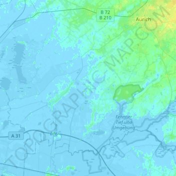
Name: Ihlow topographic map, elevation, terrain.
Location: Ihlow, Landkreis Aurich, Lower Saxony, 26632, Germany (53.34822 7.27886 53.46761 7.54249)
Average elevation: 1 m
Minimum elevation: -6 m
Maximum elevation: 14 m