
Deurle topographic map
Interactive map
Click on the map to display elevation.
About this map
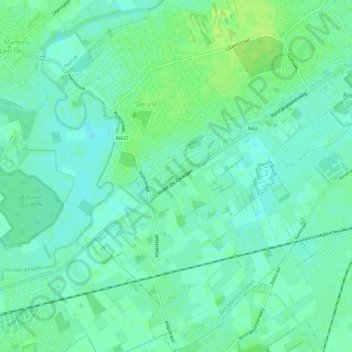
Name: Deurle topographic map, elevation, terrain.
Location: Deurle, Sint-Martens-Latem, Gent, Oost-Vlaanderen, 9831, België (50.98175 3.59113 51.01829 3.62922)
Average elevation: 8 m
Minimum elevation: 2 m
Maximum elevation: 16 m