
Alt-Prerau topographic map
Interactive map
Click on the map to display elevation.
About this map
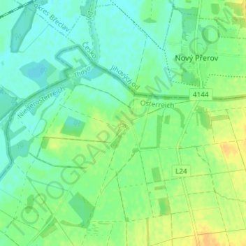
Name: Alt-Prerau topographic map, elevation, terrain.
Location: Alt-Prerau, Mistelbach District, Lower Austria, Austria (48.77729 16.45559 48.81729 16.49559)
Average elevation: 182 m
Minimum elevation: 172 m
Maximum elevation: 196 m