
Abbeville topographic map
Interactive map
Click on the map to display elevation.
About this map
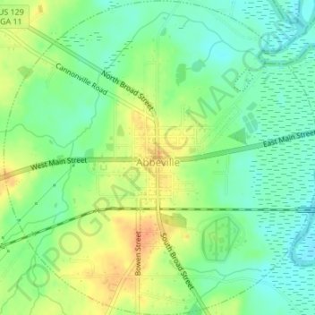
Name: Abbeville topographic map, elevation, terrain.
Location: Abbeville, Wilcox County, Georgia, 31001, United States (31.97807 -83.32351 32.00691 -83.28947)
Average elevation: 65 m
Minimum elevation: 48 m
Maximum elevation: 86 m