
Thank you for supporting this site ❤️
Make a donation
Make a donation
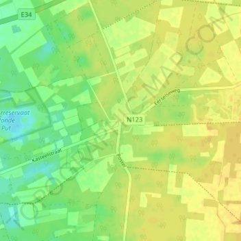
Postel topographic map
Click on the map to display elevation.
Thank you for supporting this site ❤️
Make a donation
Make a donation
Postel
Postel ligt ongeveer op de waterscheiding van het Maas- en Scheldebekken. Ten noorden van Postel wateren de beekjes af naar de Maas, terwijl de beekjes ten westen en zuiden naar de Nete lopen. De abdij van Postel ligt op een hoogte van ongeveer 38 meter. Het hoogste punt in de buurt is 43 meter.
Thank you for supporting this site ❤️
Make a donation
Make a donation
About this map
Name: Postel topographic map, elevation, terrain.
Location: Postel, Mol, Turnhout, Antwerpen, België (51.26749 5.16979 51.30749 5.20979)
Average elevation: 35 m
Minimum elevation: 21 m
Maximum elevation: 44 m
Thank you for supporting this site ❤️
Make a donation
Make a donation
Other topographic maps
Click on a map to view its topography, its elevation and its terrain.