
Cerro Guaiquinima topographic map
Interactive map
Click on the map to display elevation.
About this map
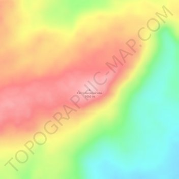
Name: Cerro Guaiquinima topographic map, elevation, terrain.
Average elevation: 985 m
Minimum elevation: 887 m
Maximum elevation: 1,062 m
Other topographic maps
Click on a map to view its topography, its elevation and its terrain.
plateau de Guyanes
Venezuela > Bolívar > Municipio Angostura
plateau de Guyanes, Parroquia Barceloneta, Municipio Angostura, Bolívar, Venezuela
Average elevation: 524 m