
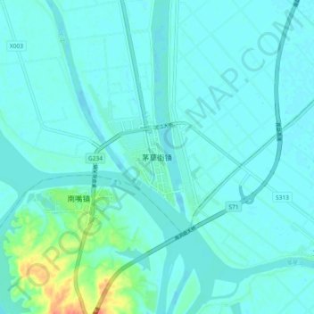
茅草街 topographic map
Interactive map
Click on the map to display elevation.
About this map
Name: 茅草街 topographic map, elevation, terrain.
Location: 茅草街, 南县, 益阳市, 湖南省, 413201, 中国 (29.02716 112.28005 29.10716 112.36005)
Average elevation: 34 m
Minimum elevation: 27 m
Maximum elevation: 79 m
Other topographic maps
Click on a map to view its topography, its elevation and its terrain.