
Víllec topographic map
Interactive map
Click on the map to display elevation.
About this map
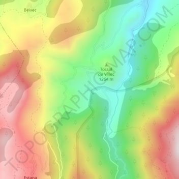
Name: Víllec topographic map, elevation, terrain.
Location: Víllec, Montellà i Martinet, Cerdaña, Lérida, Cataluña, España (42.33330 1.67319 42.33416 1.67486)
Average elevation: 1,297 m
Minimum elevation: 991 m
Maximum elevation: 1,637 m