
Suldalsosen topographic map
Interactive map
Click on the map to display elevation.
About this map
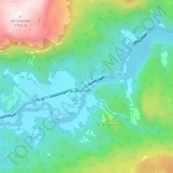
Name: Suldalsosen topographic map, elevation, terrain.
Location: Suldalsosen, Suldal, Rogaland, 4237, Norvège (59.47235 6.49747 59.51235 6.53747)
Average elevation: 323 m
Minimum elevation: 53 m
Maximum elevation: 1,101 m