
Serra topographic map
Interactive map
Click on the map to display elevation.
About this map
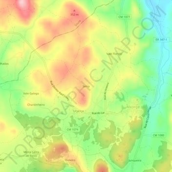
Name: Serra topographic map, elevation, terrain.
Location: Serra, Alvorge, Ansião, Leiria, 3240-419, Portugal (39.96468 -8.48988 40.00468 -8.44988)
Average elevation: 286 m
Minimum elevation: 199 m
Maximum elevation: 380 m