
Simbel topographic map
Interactive map
Click on the map to display elevation.
About this map
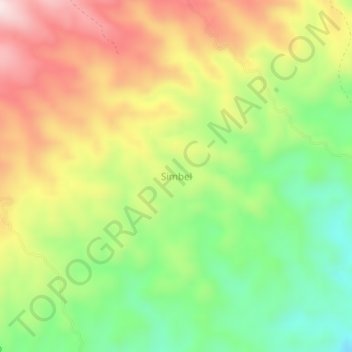
Name: Simbel topographic map, elevation, terrain.
Location: Simbel, Nord-Sulawesi, Indonesien (1.09301 124.86400 1.13301 124.90400)
Average elevation: 466 m
Minimum elevation: 243 m
Maximum elevation: 723 m