
Karaj County topographic map
Interactive map
Click on the map to display elevation.
About this map
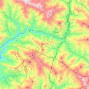
Name: Karaj County topographic map, elevation, terrain.
Location: آسارا, بخش آسارا, Karaj County, Alborz Province, Iran (35.89311 51.14653 36.10868 51.41960)
Average elevation: 2,608 m
Minimum elevation: 1,734 m
Maximum elevation: 3,926 m
Other topographic maps
Click on a map to view its topography, its elevation and its terrain.