
Thank you for supporting this site ❤️
Make a donation
Make a donation
Sayula topographic map
Click on the map to display elevation.
Thank you for supporting this site ❤️
Make a donation
Make a donation
About this map
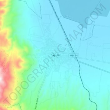
Name: Sayula topographic map, elevation, terrain.
Location: Sayula, Jalisco, 49300, Mexico (19.84214 -103.63889 19.92214 -103.55889)
Average elevation: 1,454 m
Minimum elevation: 1,343 m
Maximum elevation: 2,067 m
Thank you for supporting this site ❤️
Make a donation
Make a donation