
Thank you for supporting this site ❤️
Make a donation
Make a donation
Las Pintitas topographic map
Click on the map to display elevation.
Thank you for supporting this site ❤️
Make a donation
Make a donation
About this map
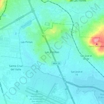
Name: Las Pintitas topographic map, elevation, terrain.
Location: Las Pintitas, El Salto, Jalisco, 45693, Mexico (20.51863 -103.34597 20.59863 -103.26597)
Average elevation: 1,539 m
Minimum elevation: 1,519 m
Maximum elevation: 1,670 m
Thank you for supporting this site ❤️
Make a donation
Make a donation