
Thank you for supporting this site ❤️
Make a donation
Make a donation
Algerita topographic map
Click on the map to display elevation.
Thank you for supporting this site ❤️
Make a donation
Make a donation
About this map
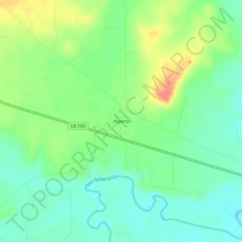
Name: Algerita topographic map, elevation, terrain.
Location: Algerita, San Saba County, Texas, United States (31.20794 -98.87310 31.24794 -98.83310)
Average elevation: 394 m
Minimum elevation: 372 m
Maximum elevation: 434 m
Thank you for supporting this site ❤️
Make a donation
Make a donation