
Thank you for supporting this site ❤️
Make a donation
Make a donation
Altenwalde topographic map
Click on the map to display elevation.
Thank you for supporting this site ❤️
Make a donation
Make a donation
Altenwalde
Auf der Altenwalder Höhe (37,5 m ü. NHN) bestand ein altsächsisches Gräberfeld mit Urnen vom 3. bis 8. Jahrhundert. Das Gelände wurde überbaut mit der fränkisch-karolingischen Altenwalder Burg von vermutlich um 797. Bei der Burg stand eine – möglicherweise schon von Karl dem Großen gestiftete Wallfahrtskapelle des Heiligen Kreuzes und des Willehad. Sie war im 14. Jahrhundert marode und wurde zwischen 1590 und 1629 abgebrochen.
Thank you for supporting this site ❤️
Make a donation
Make a donation
About this map
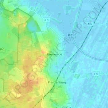
Name: Altenwalde topographic map, elevation, terrain.
Average elevation: 9 m
Minimum elevation: -3 m
Maximum elevation: 31 m
Thank you for supporting this site ❤️
Make a donation
Make a donation
Other topographic maps
Click on a map to view its topography, its elevation and its terrain.