
Thank you for supporting this site ❤️
Make a donation
Make a donation
Pheasant topographic map
Click on the map to display elevation.
Thank you for supporting this site ❤️
Make a donation
Make a donation
About this map
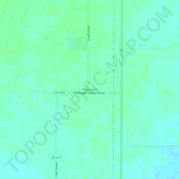
Name: Pheasant topographic map, elevation, terrain.
Location: Pheasant, Matagorda County, Texas, United States (28.78165 -96.23802 28.82165 -96.19802)
Average elevation: 10 m
Minimum elevation: 6 m
Maximum elevation: 13 m
Thank you for supporting this site ❤️
Make a donation
Make a donation
Other topographic maps
Click on a map to view its topography, its elevation and its terrain.