
Île Major topographic map
Interactive map
Click on the map to display elevation.
About this map
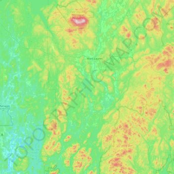
Name: Île Major topographic map, elevation, terrain.
Average elevation: 284 m
Minimum elevation: 141 m
Maximum elevation: 755 m
Other topographic maps
Click on a map to view its topography, its elevation and its terrain.
Lac des Écorces
Canada > Québec > Mont-Laurier
Lac des Écorces, Route Pierre-Neveu, Mont-Laurier, Antoine-Labelle, Laurentides, Québec, Canada
Average elevation: 245 m