
Folly topographic map
Interactive map
Click on the map to display elevation.
About this map
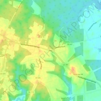
Name: Folly topographic map, elevation, terrain.
Location: Folly, Northumberland County, Virginia, 22432, United States (37.85957 -76.34772 37.89957 -76.30772)
Average elevation: 18 m
Minimum elevation: 0 m
Maximum elevation: 38 m
Other topographic maps
Click on a map to view its topography, its elevation and its terrain.
Coan
United States > Virginia > Northumberland County
Coan, Northumberland County, Virginia, 22511, United States
Average elevation: 12 m
Reedville
United States > Virginia > Northumberland County
Reedville, Northumberland County, Virginia, 22539, United States
Average elevation: 3 m