
Sesulung topographic map
Interactive map
Click on the map to display elevation.
About this map
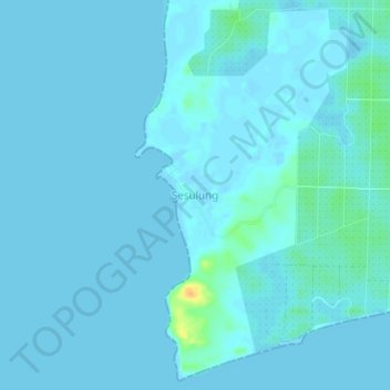
Name: Sesulung topographic map, elevation, terrain.
Location: Sesulung, Kotabaru, South Kalimantan, Indonesia (-2.57213 116.46241 -2.53213 116.50241)
Average elevation: 3 m
Minimum elevation: -2 m
Maximum elevation: 32 m