
燕窝宕 topographic map
Interactive map
Click on the map to display elevation.
About this map
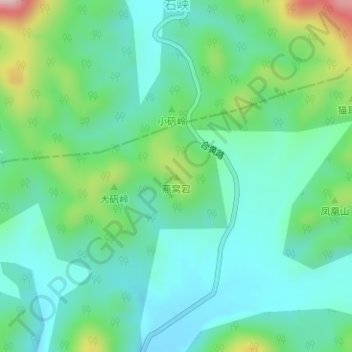
Name: 燕窝宕 topographic map, elevation, terrain.
Location: 燕窝宕, 钱铺镇, 枞阳县, 铜陵市, 安徽省, 中国 (30.99101 117.47535 30.99111 117.47545)
Average elevation: 165 m
Minimum elevation: 94 m
Maximum elevation: 372 m