
新墩镇 topographic map
Interactive map
Click on the map to display elevation.
About this map
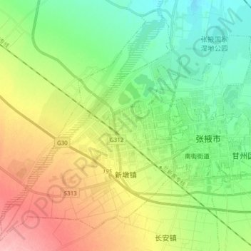
Name: 新墩镇 topographic map, elevation, terrain.
Location: 新墩镇, 甘州区, 张掖市, Gansu, 734000, China (38.88781 100.32933 38.99649 100.48167)
Average elevation: 1,496 m
Minimum elevation: 1,448 m
Maximum elevation: 1,577 m