
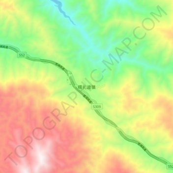
糯扎渡镇 topographic map
Interactive map
Click on the map to display elevation.
About this map
Name: 糯扎渡镇 topographic map, elevation, terrain.
Location: 糯扎渡镇, 澜沧拉祜族自治县, Pu’er, Yunnan, 665000, China (22.54168 100.22964 22.62168 100.30964)
Average elevation: 1,255 m
Minimum elevation: 736 m
Maximum elevation: 1,883 m