
al Awabi topographic map
Interactive map
Click on the map to display elevation.
About this map
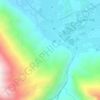
Name: al Awabi topographic map, elevation, terrain.
Location: al Awabi, Al Batinah South Governorate, Oman (23.28000 57.50000 23.32000 57.54000)
Average elevation: 735 m
Minimum elevation: 446 m
Maximum elevation: 1,503 m