
Stara planina topographic map
Interactive map
Click on the map to display elevation.
Stara planina
The park's herpetofauna includes 15 reptile and nine amphibian species. It hosts vital populations of common European adder (Vipera berus), European toad, grass snake (Natrix natrix), legless lizard, tessellated water snake, viviparous lizard and the common frog. Due to the park's high altitude, the ichthyofauna consists of six fish species, with brown trout being the dominant one.
About this map
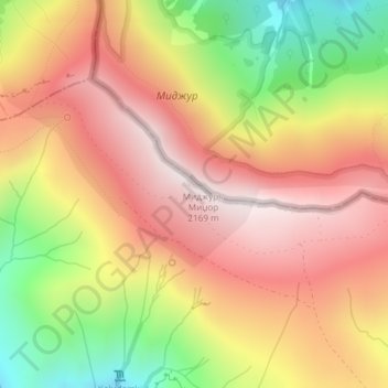
Name: Stara planina topographic map, elevation, terrain.
Average elevation: 1,806 m
Minimum elevation: 1,322 m
Maximum elevation: 2,161 m