
Wittenberg topographic map
Interactive map
Click on the map to display elevation.
About this map
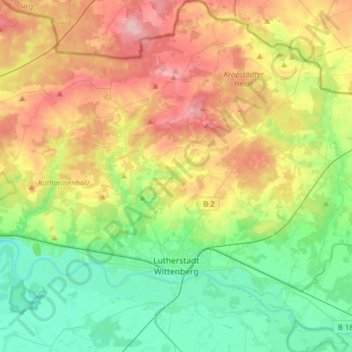
Name: Wittenberg topographic map, elevation, terrain.
Location: Wittenberg, Saksen-Anhalt, Duitsland (51.81868 12.48490 52.01333 12.77674)
Average elevation: 108 m
Minimum elevation: 55 m
Maximum elevation: 190 m