
Thank you for supporting this site ❤️
Make a donation
Make a donation
Froidebise topographic map
Click on the map to display elevation.
Thank you for supporting this site ❤️
Make a donation
Make a donation
About this map
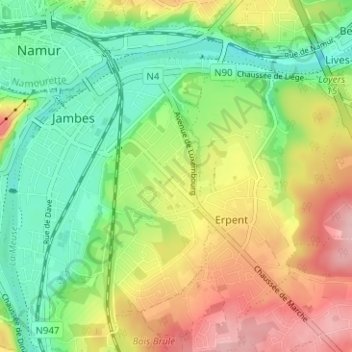
Name: Froidebise topographic map, elevation, terrain.
Location: Froidebise, Jambes, Namur, Wallonie, 5100, Belgique (50.43222 4.87065 50.47222 4.91065)
Average elevation: 125 m
Minimum elevation: 62 m
Maximum elevation: 212 m
Thank you for supporting this site ❤️
Make a donation
Make a donation