
通天河 topographic map
Interactive map
Click on the map to display elevation.
About this map
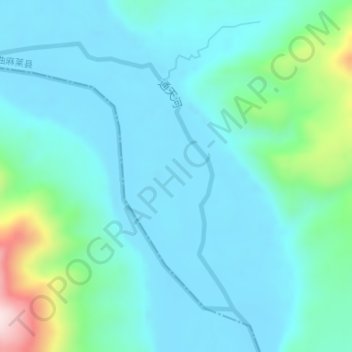
Name: 通天河 topographic map, elevation, terrain.
Location: 通天河, 治渠乡, 曲麻莱县, 玉树藏族自治州, 青海省, 中国 (34.31254 95.54335 34.33292 95.56951)
Average elevation: 4,190 m
Minimum elevation: 4,122 m
Maximum elevation: 4,523 m