
Maury County topographic map
Interactive map
Click on the map to display elevation.
About this map
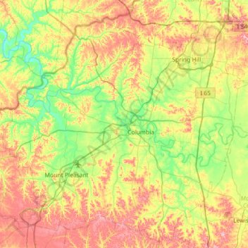
Name: Maury County topographic map, elevation, terrain.
Location: Maury County, Tennessee, United States of America (35.40871 -87.35430 35.85050 -86.78203)
Average elevation: 235 m
Minimum elevation: 146 m
Maximum elevation: 370 m