
Entre Rios topographic map
Interactive map
Click on the map to display elevation.
About this map
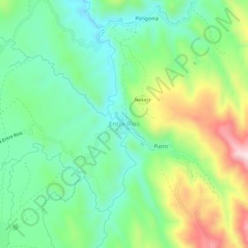
Name: Entre Rios topographic map, elevation, terrain.
Location: Entre Rios, Provincia Rafael Bustillo, Potosí, Bolivia (-18.46076 -66.44012 -18.42076 -66.40012)
Average elevation: 3,760 m
Minimum elevation: 3,607 m
Maximum elevation: 4,061 m