
Puttenham topographic map
Interactive map
Click on the map to display elevation.
About this map
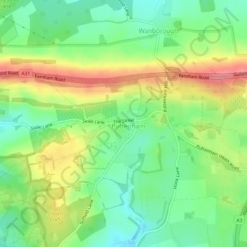
Name: Puttenham topographic map, elevation, terrain.
Location: Puttenham, Surrey, South East, Engeland, VK (51.21899 -0.67955 51.22413 -0.66203)
Average elevation: 102 m
Minimum elevation: 66 m
Maximum elevation: 152 m